

Race. Train. Explore.
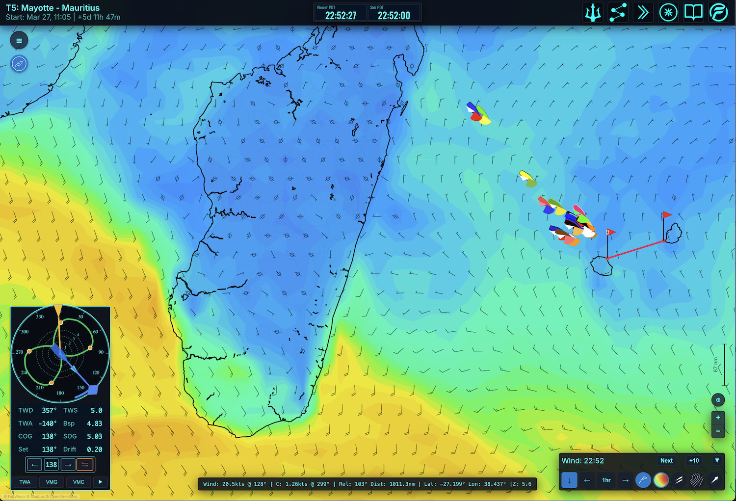
Welcome to FairWinds! Join a global community of sailors as you navigate real-time weather and detailed world maps in virtual races and expeditions.

FairWinds is a map-based virtual sailing platform where you can:
- Compete in local and global races
- Create your own regattas, races, expeditions
- Go on sailing expeditions to all corners of the globe
- Sail in 50+ knot winds without breaking a spreader
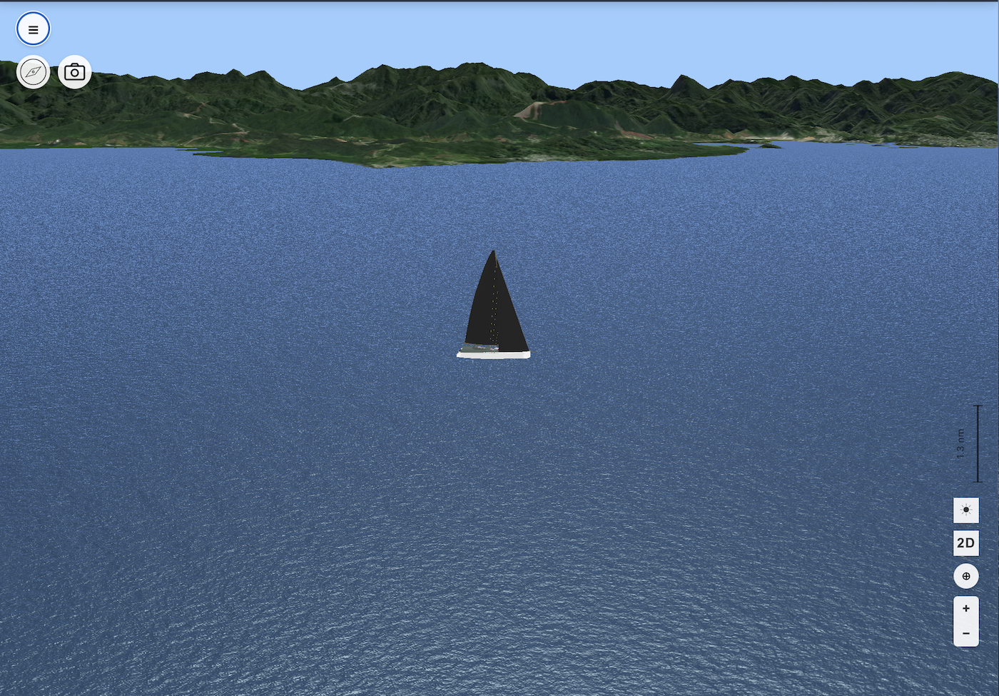
Immersive environment
- Full world geography coverage, bays, inlets, high latitudes
- High resolution 1-meter 3D terrain data
- 3D boats, land, weather. Real-time sun & lighting effects
- 3D boats can be created for special events
Built by sailors
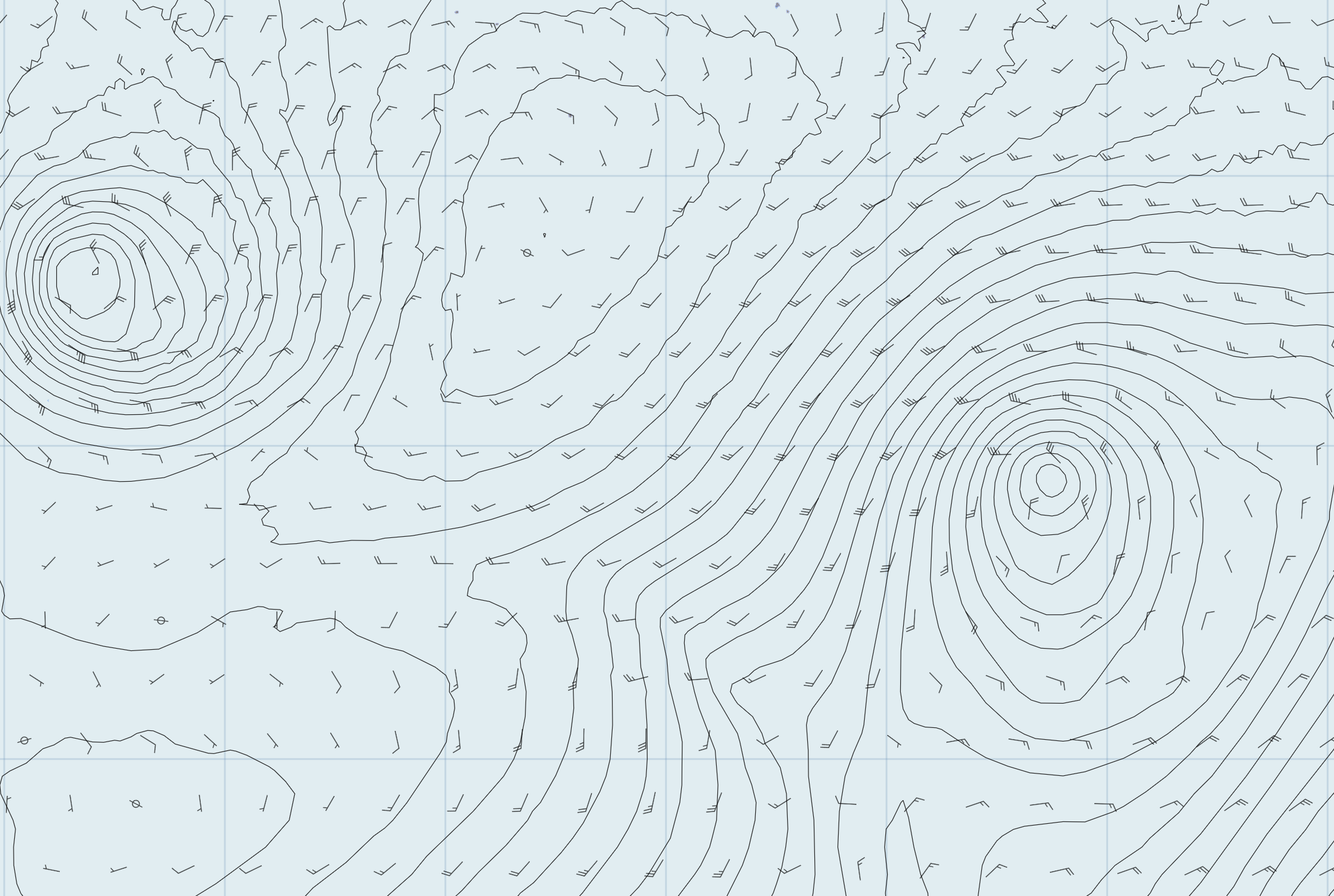
- Real-time global wind data, high fidelity coastlines
- Advanced routing and auto-pilot systems
- Create polars, races, and expeditions
- Professional routing tool GPX imports and NMEA available for all races
- Run aground without a scratch (not recommended)
Currents
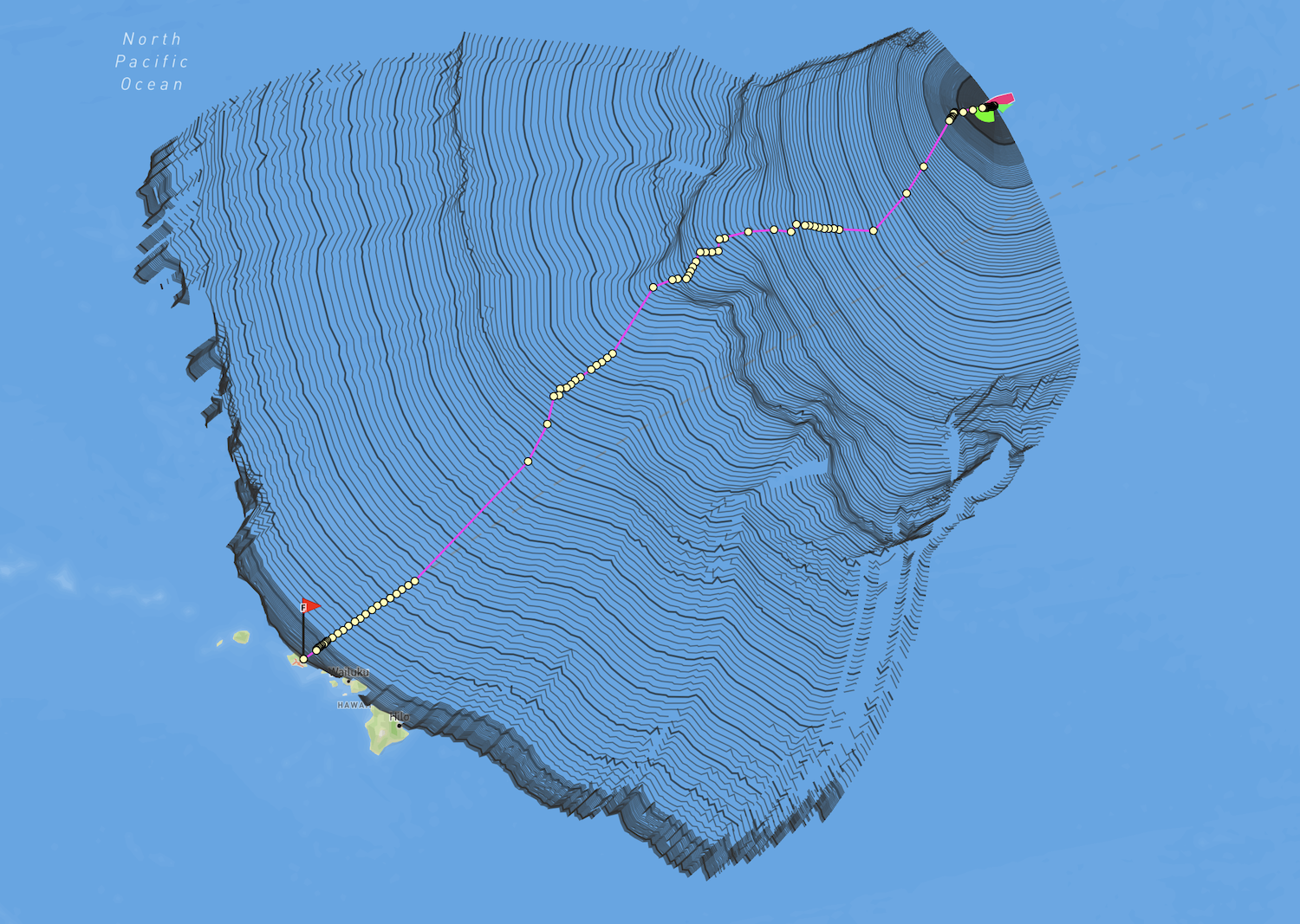
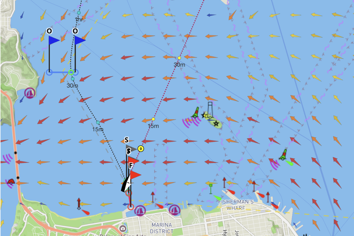
FairWinds now includes global, regional and local currents for selected areas, with internal router support.
Current regions: Gulf Stream from the Caribbean to Iceland, English Channel/Ireland/Southern UK/Northern France, Vancouver & Georgia Strait, Kurishio, Algulhas, Trans-Tasman and Eastern Australian Currents (EAC). FairWinds also uses the SFBOFS model to render the high resolution San Francisco Bay currents for local sailing. More currents can be added on request.
Celestial Navigation
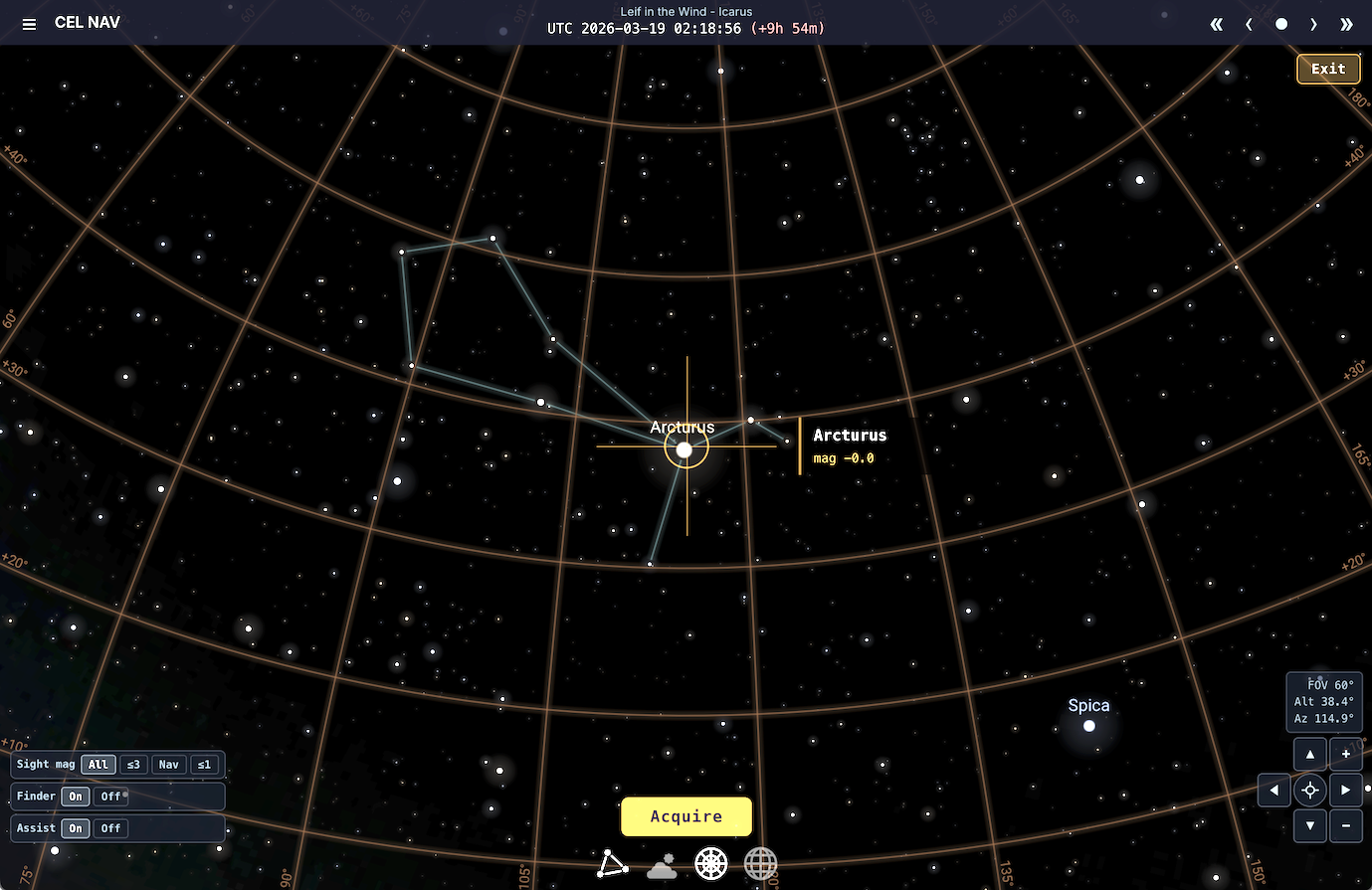
Navigate by the stars like the great ocean voyagers of history. FairWinds includes a full celestial navigation system — take sights on the Sun, Moon, planets, and 57 navigational stars using an interactive sky and sextant.
Plot lines of position, calculate running fixes, and find your place on the globe using only the sky above you in 'No GPS' expeditions. Celestial nav is a fully integrated navigation tool that works alongside your charts and routing.
Teams & Clubs
- Join a team or club, or form your own!
- Join the community of FW sailors on Discord
- Set up exclusive polars and races for your team and club
- Discuss grib interpolation with navigators who actually 'get it'
For help, feedback, or race partnership inquiries please reach out to contact@fairwinds.world
Trusted by race organizers